IWMI — International Water Management Institute
IWMI · HydroVision

About Mexico's Reservoirs

Explore Mexico's major reservoirs and river basins. This section provides a spatial overview of the key water bodies and their associated basin boundaries included in the monitoring framework.

River basins

Santiago 1

Santiago 1 basin overview
Basin2,970 km²

Located along the upper Santiago River, this basin covers a mix of lake and reservoir systems draining toward the Río Grande de Santiago, surrounded by agricultural land. It follows a pronounced seasonal cycle, with reservoirs typically drying during the early part of the year before refilling as the wet season begins. Vegetation across the basin ranges from fresh growth to fully dried patches resembling exposed soil, with water hyacinth present in some water bodies and cyanobacteria detected at more than half of the monitored sites.
Lerma 1

Lerma 1 basin overview
Basin2,070 km²

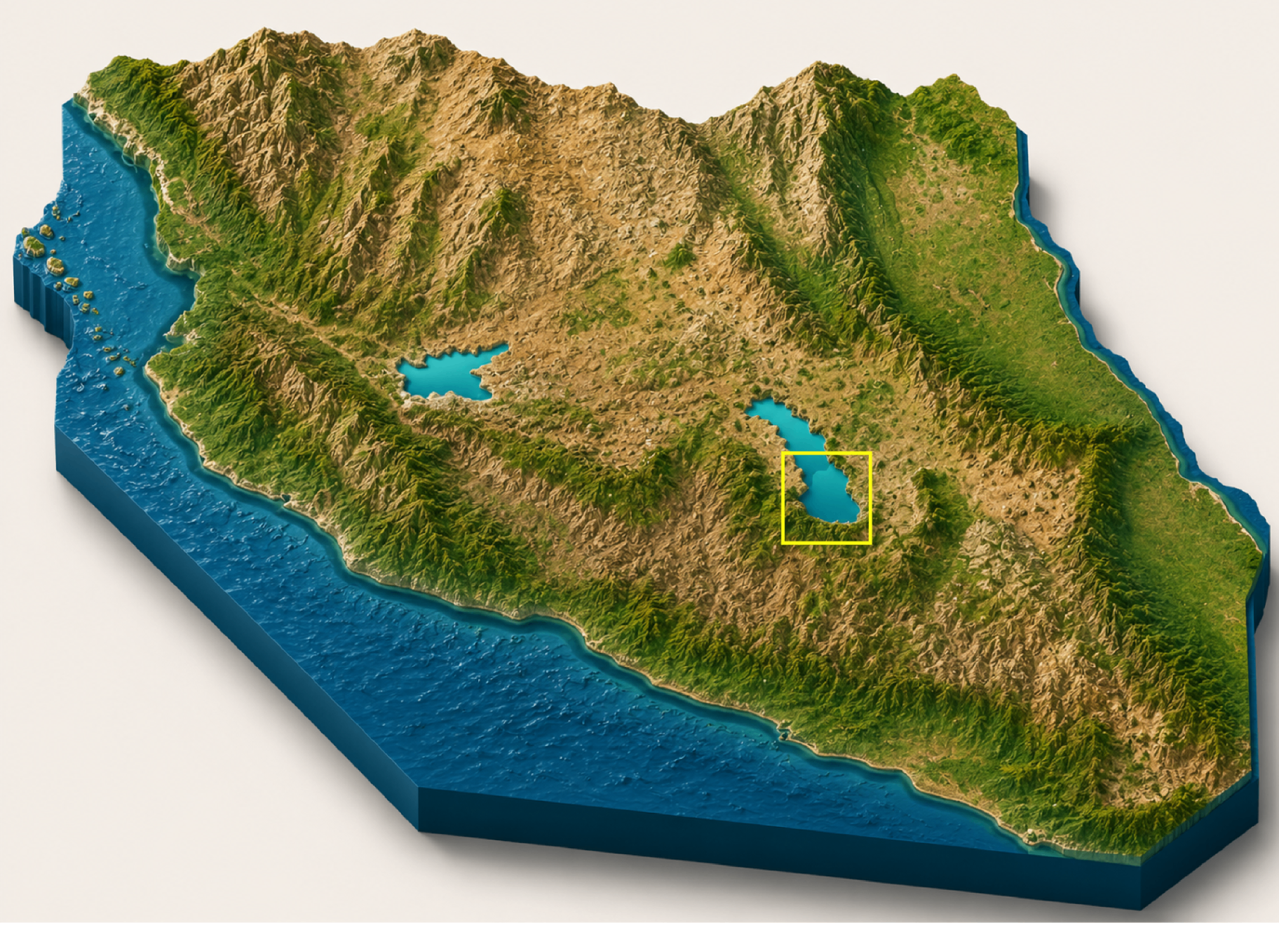
Located in the upper reaches of the Lerma River system in the State of México, this basin sits on the Mexican Plateau at higher elevation, characterized by urbanized terrain interspersed with reservoirs feeding the headwaters of the Lerma River. The basin experiences a defined wet season with flooding common in late summer, and reservoirs tend to stagnate with limited water movement during drier months. Across the monitored water bodies, cyanobacterial blooms and floating or emergent vegetation are common, with several sites showing consistently stagnant conditions and visible seasonal drying.

Lerma 2

Lerma 2 basin overview
Basin2,695 km²

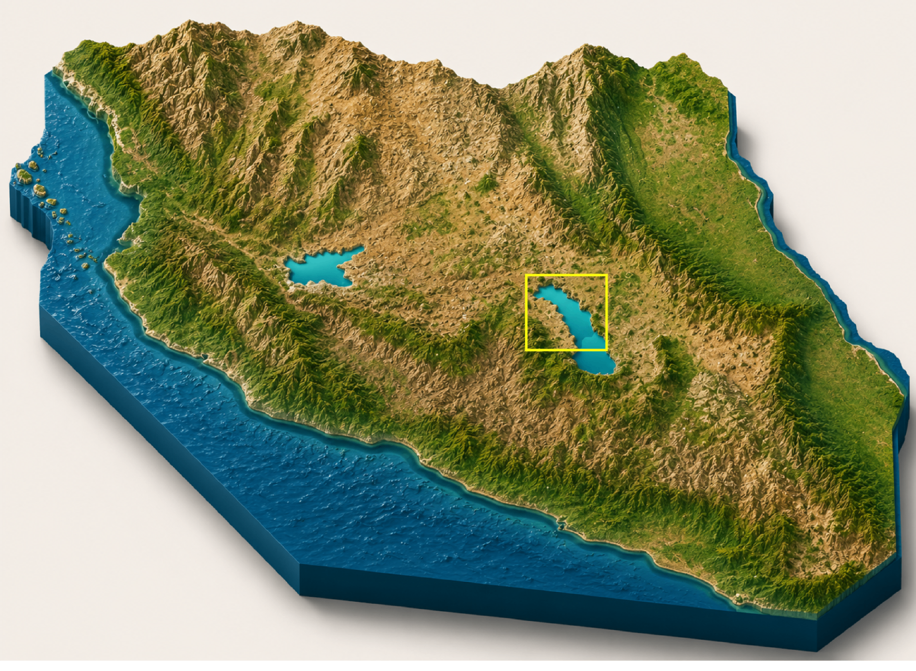
Situated downstream of Lerma 1, spanning a broader stretch of the Lerma River through the surrounding agricultural plains, this basin covers flatter farmland interspersed with mid-sized reservoirs. Seasonal drying is the dominant pattern across the basin, with most water bodies visibly shrinking during drier periods. Vegetation cover varies widely across sites, ranging from high emergent growth and dense macrophyte cover to sparse patches and mixed land with scattered vegetation, with water hyacinth also observed in isolated pockets.

Basin

Santiago 1

4 water bodies

El Ahogado

El Ahogado

Santiago 1

Area0.73 km²

Priority water body monitored under the Santiago 1 basin.

El Magdaleno

El Magdaleno

Santiago 1

Area0.41 km²

Priority water body monitored under the Santiago 1 basin.

La Cañada

La Cañada

Santiago 1

Area0.66 km²

Priority water body monitored under the Santiago 1 basin.

La Colonia

La Colonia

Santiago 1

Area2.45 km²

Priority water body monitored under the Santiago 1 basin.

Basin

Lerma 1

4 water bodies

J. Antonio Alzate

J. Antonio Alzate

Lerma 1

Area1.11 km²

Priority water body monitored under the Lerma 1 basin.

Chiconahuapan

Chiconahuapan

Lerma 1

Area3.38 km²

Priority water body monitored under the Lerma 1 basin.

Chignahuapan

Chignahuapan

Lerma 1

Area4.33 km²

Priority water body monitored under the Lerma 1 basin.

Chimaliapan

Chimaliapan

Lerma 1

Area14.44 km²

Priority water body monitored under the Lerma 1 basin.

Basin

Lerma 2

8 water bodies

Boximó

Boximó

Lerma 2

Area0.54 km²

Priority water body monitored under the Lerma 2 basin.

El Tule

El Tule

Lerma 2

Area0.77 km²

Priority water body monitored under the Lerma 2 basin.

Huerejé Grande

Huerejé Grande

Lerma 2

Area0.93 km²

Priority water body monitored under the Lerma 2 basin.

Largo

Largo

Lerma 2

Area0.55 km²

Priority water body monitored under the Lerma 2 basin.

Limber

Limber

Lerma 2

Area0.46 km²

Priority water body monitored under the Lerma 2 basin.

Los Baños

Los Baños

Lerma 2

Area1.06 km²

Priority water body monitored under the Lerma 2 basin.

San Francisco

San Francisco

Lerma 2

Area0.45 km²

Priority water body monitored under the Lerma 2 basin.

San Jacinto

San Jacinto

Lerma 2

Area0.58 km²

Priority water body monitored under the Lerma 2 basin.